Pages

Showing posts with label Lockatong Creek. Show all posts

Thursday, March 27, 2008

Making Space

Here is the garden at Federal Twist from space, much thanks to Google Earth. The terrain slopes rather sharply from left to right, carrying tremendous volumes of storm runoff down to the Lockatong Creek, a large, rocky tributary of the Delaware about 1000 feet below the house. As a consequence, my garden is very wet.


The house (the brown roof is visible on the left) overlooks the garden in progress. An irregular oval path, the "great circle," partly hidden by trees and shadows on the right, delineates the central garden area, and is connected by linking paths to both ends of the house. The lower linking path is through a woodland area and is almost invisible in the photo.

When we moved to Federal Twist Road three years ago, the house was surrounded by first growth forest, about 40 years old, mostly of cedar (Juniperus virginiana). One thing was clear. Many of the cedars had to be removed to create space and light. After we cut the trees I didn't know how to define the garden in proportion to the house and surrounding forest. Then I remembered a device John Brookes recommends, and used a grid taken from the dimensions of the house to define the space. The crude drawing at the right shows the initial, and final, layout of the garden pathway using a grid based on the modular structure of the house - squares about 30 feet on each side.

This technique helped me recognize the need to remove additional trees to create more breathing room in the garden area. By giving me a firmer grasp of the spatial constraints of my land, forest-bound as it is, it also helped me understand how the garden can grow. The lower woodland path in the drawing, for example, will become the armature of a new woodland garden already begun. The back side of the "great circle" will, in the future, break through into a "cove" of open space (just visible in the photo) that curves down and away from the main garden, giving an area of privacy (mystery?) from which the house can't be seen.

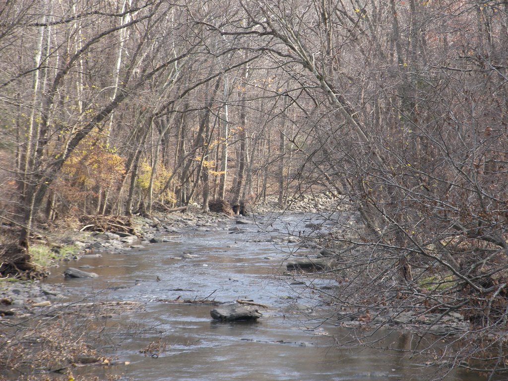
The Google Earth photo looks so bleak I offer two more photos to show a real garden is actually emerging. First, a landscape shot into the "great circle."


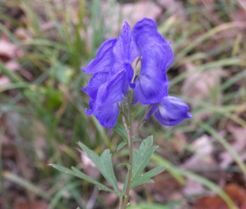
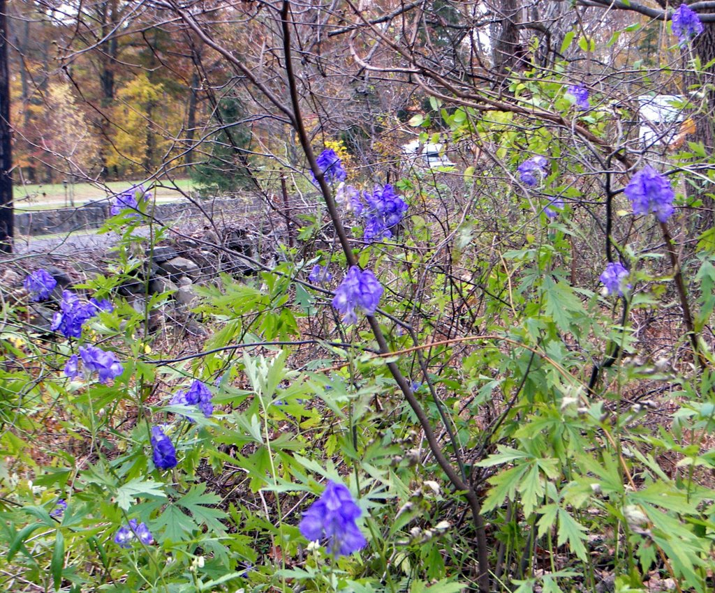
Next, details of the evolving "wet prairie."


In a later post I'll write about garden elements that will quietly allude to the culture and history of this area - light touches, I hope, that will be so integral to the garden design only those who want to see will see.

Saturday, February 23, 2008

Garden Diary: Using the Landscape as Guide


The Setting
The landscape at Federal Twist is the result of centuries of natural processes as water has drained from higher elevations down to the Lockatong Creek below the house, eroding and refining the landforms left by the advance and retreat of the ice sheet in the most recent glaciation. The landscape also shows the effects of various cultural overlays. The Lenni Lenape lived and hunted in this area for centuries, but left virtually no visible trace, though they certainly left artifacts of their civilization. Eighteenth and nineteenth century farmers cut the virgin forests, cleared stones to make new fields, and built the stone rows that form grids throughout the surrounding woods. Much later, in 1965, a major cultural change was introduced with the construction of what is now our house on an earthen platform elevated above the surrounding land, providing a view across the then open fields to the hills on the far side of the Lockatong valley (now mostly obscured by forest). Over the intervening decades, the house platform has changed drainage patterns, affecting the ecology of the area. By interrupting the flow of water down the natural slope to the creek, and forcing larger flows around each side, the earthen platform has created extremely wet, almost boggy areas at each end of the house, resulting in new ecological niches that will become part of my new garden.

Stone Wall: Imitating Curves in Nature
We have used native stone from old stone rows on the property to make a low, dry laid stone wall around the base of the earthen platform on which the house rests. On the end of the house we just finished building a curved wall that reflects the shape and direction of a small natural drainage channel. You can see how the curve of the wall partially follows and complements the shape of the channel in the photo above.

I plan to excavate a canal-like pond that will appear to flow from, and be fed by, the small drainage channel. The excavated soil will be used to fill in behind the new stone wall. In the next photo, you can see the start of the pond excavation (now interrupted by winter). The green hose, extending back about 40 feet from the water toward the woods, suggests the S curve of the pond, which will carry the curve of both the wall and drainage channel further into the garden (excuse the logs and debris; this is sort of a construction site).

Governing Concept: River Broadening into Delta
As shown in the next photo, taken from the opposite side, the curved wall serves another purpose. Since the main entrance to the garden is via a curved path through the woodland garden, the wall adds a visual momentum, opening the view to the garden as you walk down the path. This curve, in fact, has given this garden transition - from shade to sun, from woodland to open garden - a logic and flow that I didn't anticipate. Think of the narrow mouth of a river (the restricted entry space and wall) as the river rounds a curve and opens into a wide delta (the garden proper). This powerful concept has emerged gradually, as individual pieces of the overall design have fallen into place, and demonstrates, at least to me, the value of a "slow gardening" approach.

The view back to the house from the garden (next photo) shows the straight line of the wall, which will demarcate the wet prairie plantings below the wall, from the drier habitat plantings to be created at its top and extend up the slope.


The garden will develop in harmony with the natural landscape and setting. I have only to learn to read the landscape and interpret symbols left from the past. And, to the extent possible, practice sustainable design, reusing materials and resources from the site.

Thursday, November 30, 2006

Sounds of the Creek

Lokatong Creek is about a quarter mile behind the house. You can hear its soft, muffled roar through the trees almost any time of year, except when it's frozen or in drought. The rain is starting now, after several days of warm weather - so warm I've seen forsythia and rhododendron starting to bloom. Here is a view of the creek from early November, as its flow began to slaken after heavy rains.

Sunday, October 29, 2006

Aconitum carmichaelii and signs of life vanished


At the end of October, I've found three colonies of Aconitum carmichaelii in bloom on the roadside within two miles of our home. Two seem to have been planted many years ago as ornamentals on the grounds of an impressive prerevolutionary stone house on Strimples Mill Road. The third is on Federal Twist Road, apparently near the location of an old homestead, now vanished.

Surviving non-native plants are signs of former habitation throughout this area, and set the mind to thinking of the unknowable history that has passed here - the Lenape people, who must have used the nearby Lockatong Creek as a resource for living and hunted these woods, the ancient stone rows that show this inhospitable land must once have been farmed, though with great difficulty, the wives, almost certainly they were wives, who planted wisteria and monkshood and who knows what else?

Friday, June 09, 2006

Plant Stewardship Index

Lokatong Creek


We went to the annual Native Plants in the Landscape conference at Millersville University last week. I attended two presentations on the Plant Stewardship Index.

The name makes you want to run for your garden spade? Don't.

Though I do not limit my plant selections exclusively to natives, I understand the value of preserving local, native plant genotypes, fighting invasive alien species, and saving natural lands from development. We have two exquisite watersheds in our little part of New Jersey - the Wickecheoke and the Lokatong. Both drain somewhere around 25 square miles, and share a rocky, picturesque plunge over their last few miles into the Delaware. These two watersheds, and the surrounding lands - particularly the sublime Rosemont Valley - need to be preserved.

Several local governments and nonprofit organizations are having success preserving farms and natural lands. But as more and more land is preserved, and development forces exert pressure to take the land for their own benefit (profit), it will become increasingly necessary to be able to show the value of preserving land, and to clearly demonstrate that preservation measures are improving the value of these lands.

Thus, the Plant Stewardship Index. This is a scientific tool that can be used to evaluate the value of natural lands, and to measure the efficacy of management measures used to improve the quality of these preserved lands. The PSI provides an index, a number, that indicates the quality of native habitat by measuring the numbers of plant species present.

It is a highly localized tool because its foundation is a list of plants that grow in a specific area, both native and non-native, each with a number assigned between zero and 10. Plants that are native, and that indicate a high quality habitat by their simple presence, have higher values. Such a list - consisting of over 4,000 plants - exists for New Jersey. It was developed by professional botanists meeting and coming to consensus on each plant's value as an indicator of high quality habitat. A similar list for Pennsylvania will soon be available.

A mathematical formula is used to calculate the PSI. It looks a little foreboding because it incorporates a statistical technique to assure more accurate results, but it's quite simple. Of course, calculating a PSI requires you to perform a survey of the land, and to be able to identify the majority of plant species living there. You don't have to actually count the numbers of individual plants in each species, just the presence of a species.

Bowman's Hill Wildflower Preserve (BHWP), just south of New Hope, Pennsylvania, has taken on the challenge of introducing the PSI to our area. This is a major undertaking for such an organization, and they deserve support. Many governmental and academic organizations have declined take on introduction of the PSI in New Jersey and Pennsylvania, so BHWP is doing a really good thing. They will soon make available on their web page all the information needed to calculate the PSI for a given piece of land. I understand this tool will be available to the general public. BHWP will also give a series of classes in use of the PSI and identification of native plant species. I intend to participate.

Here is the BHWP web address. Keep a watch for the PSI tool to appear in the very near future.

Bowman's Hill Wildflower Preserve

Monday, February 20, 2006

Are we gardening yet?

After an extraordinarily mild winter, we had a whopping snow storm last weekend. New York City, about 65 miles to the east, had the most snow ever recorded in a 24 hour period. Here's how it looked at Federal Twist.
Warm weather - again - the following week quickly melted most of the snow. The Lockatong Creek is running overfull, as are the little unnamed tributaries around us. I continue reading gardening books - now Dan Pearson's The Garden: A Year at Hope Farm - and ordering plants. As usual, I've reached the surfeit point and am feeling I'll never have time to build the stone walls I want to build, expand the front planting area, cut down the worst of the ragged cedars blocking the view of the sky, build the pond, and plant 30 Panicum virgatum 'Rotstrahlbusch', 25 Molinia caerulea 'Strahlenquelle', 15 Darmera peltata, and all the many, many other plants that will arrive, probably bare root, when I have only one rainy day left for gardening before leaving to get back to the City for work on Monday. Why do I do this?

As spring arrives, I'll remember, as in the past, all this will not get done in one year. And the better for it.

LinkWithin

Related Posts with Thumbnails